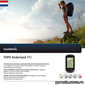
 Garmin TOPO Nederland v.2 PRO
Requirements: Compatible with Garmin GPS, PC
Overview: Let us be your guide in one of the most cycle-friendly countries — the Netherlands — with the most versatile outdoor topographic map data available.
Provides 1:25,000 - 1:50,000 data from the National Geographic Institutes database
Displays elevation contours every 2-3 meters, building footprints and Digital Elevation Model (DEM) for 3-D profiling
Shows searchable geographic places, touristic points of interest and road addresses
New ActiveRouting¹ functionalities offer tailored and innovative outdoor routing, named trail routing and optimized map layouts — perfect for easy tour planning
¹ActiveRouting supported by BaseCamp™ on Windows®/Mac® and Montana®, GPSMAP® 62, 78, Edge 810, and Oregon® x50, 6x0 devices. FID: 2884
| 

