 Features: BlueChart enhances our marine product line with multiple user benefits: Smooth data transition between zoom levels Harmonious transition across chart borders Fishing charts included in BlueChart g2 Addition of ΓÇ£Safety DepthΓÇ¥ settings with a selection of up to five values Standardized depth contours and isobath areas Combining the best available data from multiple sources to create the most accurate and detailed chart possible
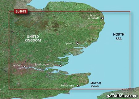
Coverage: Thames Estuary provides detailed coverage from Great Yarmouth to Folkestone, including Thames Estuary and River to Teddington Lock.
|