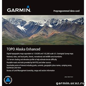
Provides topographic maps of Alaska, comparable to 1:24,000 and 1:63,360 scale USGS maps. Contains 24K coverage in 3 main cities in Alaska, including Anchorage, Juneau and Fairbanks. All other areas in Alaska contain 63K coverage. Features national, state and local parks, forests, recreational and wildlife area boundaries as well as routable roads for accurate directions to your destination. Includes searchable urban and wilderness points of interest, such as geographical place names, camping areas and businesses. Displays 3-D terrain shading and digital elevation model (DEM) shaded relief on compatible devices to help estimate terrain difficulty. Features Bureau of Land Management township, range and section information
About Coverage Features detailed 24K topographic maps in Anchorage, Juneau and Fairbanks; All other areas in Alaska contain detailed 63K topographic maps