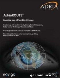
Specifications: AdriaROUTE map is detailed routable map of SouthEast Europe. AdriaROUTE includes maps of 8 countries: Croatia, Slovenia, Bosnia and Herzegovina, Serbia, Montenegro, Kosovo, FYRO Macedonia and Albania. In AdriaROUTE map there are more then 100 000 searchable points of interest (POI-a) and over 350 000 km of roads. Cartographical details include: urban areas, forests (Croatia, Slovenia and Bosnia and Herzegovina), islands, rivers, railway network, and parks.
AdriaROUTE map will guide you to the street level detail in all included cities, and in many you can use street number (exact address) as your destination. In Slovenia all towns (villages included) have street level and house number detail. In Croatia, 749 towns have street name detail and 625 towns have house numbers. Database includes settlements: 6850 for Croatia (all according to the list from 2001.), 6000 in Slovenia and 5800 in Bosnia and Herzegovina, 10000 in Serbia, 1200 in Montenegro, 3000 in Kosovo, 2400 in Macedonia and 3000 in Albania. In Serbia 716 towns have street name detail and 654 towns have house numbers. In Bosnia and Herzegovina 93 towns are covered with street names, in Montenegro 14, in Kosovo 9 and in FYRO Macedonia 33 biggest towns are covered with street names. In Albania are 13 biggest towns covered with street names. List od all covered places with street names and house numbers could be found on our web page. Multi-body search is enabled (searching based on a known part in name), as well as full POI search. Descriptions of POIs include additional info such as: classification of point, full address and phone number which can be automatically dialed using the devices witch support Bluetooth connection to your GSM phone. You can choose shortest, fastest or off-road route. Updates are free!
AdriaROUTE map can calculate direct route towards any place in western or eastern Europe (on devices with preloaded City Navigator maps).
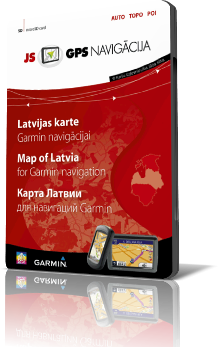
New and long awaited product! Using the Garmin GPS navigation devices , possible routing over Latvian territory, ranging from dense urban streets and even individual farms in the countryside. For the first time such a detailed map of Latvian and motorists, both anglers and recreational enthusiasts!
Includes detailed road maps and points of interest for the City of Budapest, Hungary, with the ability to navigate using buses, tramway, metro and suburban rail systems where available. Not all cities include all public transit types¹.
About Coverage Includes detailed road maps and points of interest for the city of Gothenburg, with the ability to navigate using buses, tramway, metro and suburban rail systems (where available. Not all cities include all public transit types¹).
About Coverage Includes detailed road maps and points of interest for the City of Prague, Czech Republic, with the ability to navigate using buses, tramway, metro and suburban rail systems where available. Not all cities include all public transit types¹.
Features detailed coverage for the greater Prague metro area, including Letiste Praha Ruzyne (PRG), and the 22 administrative districts and 57 municipal districts of Prague.
Garmin - Hungary v 6.0 NT Requirements: PC, Garmin Devices, Garmin XT and Mobile Overview: newest streetmap of hungary What's New in the 6.0 update •M43 Motorway between Szeged Mako-new 31.6-km section. •On-site surveys, 9512 for modifications on the map. Featured Events in South-Buda bypass, Komárom bypass, bypass Szeleste •In the following municipalities new informations database and expanded main routes (number of crossings). Békéscsaba (16), Pécs (9), Salgótarján (10), 42 highway (16), 44 highway (39), 47 highway (39), 405 Avenue (5), 51 Road (32) • New informations in the following cities and new major roads in (number plates). Békéscsaba (64), Eger (133), Pécs (69), Salgótarján (69), 42 highway (58), 44-es út (148), 47-es út (158), 405 Way (26 ), 51-es út (217) •Total of 982 km road network has expanded •The errors reported at topmap.hu in the previous period have been processed
Includes detailed map coverage of Poland, Czech Republic, Slovakia, Hungary, Austria, Slovenia and Croatia.
Everything you need to travel most of Eastern Europe is included in these highly detailed street maps. Load City Navigator Europe NT – Northwest Eastern Europe directly to your device and navigate turn-by-turn to any address or intersection. Route to points of interest, including restaurants, petrol stations, lodging, attractions and more. Coverage includes detailed maps of Poland, Czech Republic, Slovakia, Hungary, Austria, Slovenia and Croatia. Powered by NAVTEQ, a world leader in premium-quality digital map data.
Includes full country coverage for Turkey. Includes motorways, national and regional thoroughfares and local roads throughout the country. Displays points of interest throughout the country, including restaurants, lodging, attractions, petrol stations, shopping, ATM/cash stations and more. Gives turn-by-turn directions on your compatible device. Enhances pronunciation for compatible units that speak street names (example: "Turn right on Main Street"). Includes navigational features, such as turn restrictions, roundabout guidance, speed categories and more. Contains traffic data for compatible devices that use traffic receivers.


 Garmin - Hungary v 6.0 NT
 Regio Estonian TOPO map v1.2 update
 Includes detailed map coverage of Poland, Czech Republic, Slovakia, Hungary, Austria, Slovenia and Croatia.
 Includes full country coverage for Turkey.


